
Transforming Spatial Learning with IMSAND Interactive Sandbox
The Limitations of Traditional Terrain Modeling
Without the IMSAND Interactive Sandbox, various groups face significant hurdles in understanding and applying spatial concepts:
- Student Disengagement: Learning geography, hydrology, and terrain modeling remains abstract and unengaging, making it difficult for students to connect theory with practice.
- Communication Gaps: Communities and stakeholders often find maps and reports confusing, leading to communication gaps and poor decision-making.
- Planning Challenges: Planners and engineers struggle to visualize the impact of terrain changes on water flow.
- Lack of Engagement: Museums and science centers lack interactive exhibits to truly engage visitors, resulting in lost opportunities for creativity, collaboration, and hands-on exploration.

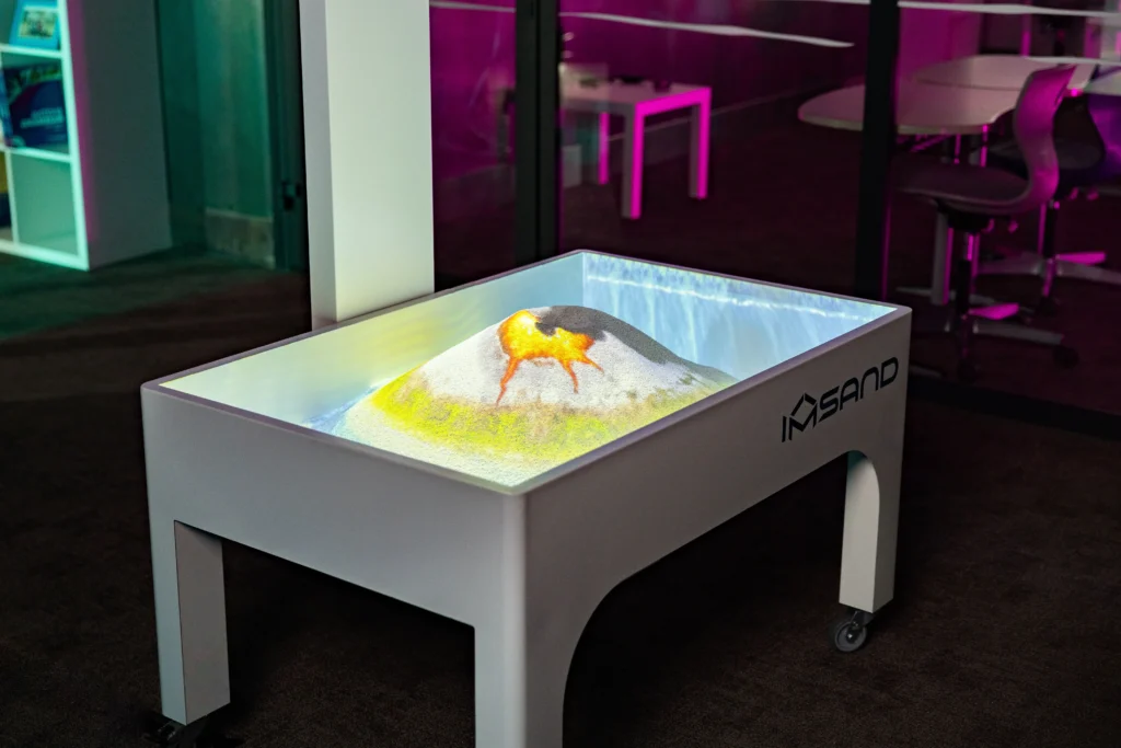
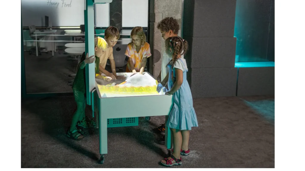
IMSAND Sandbox: A Solution for Interactive Understanding
The IMSAND Interactive Sandbox transforms these challenges into powerful learning and planning opportunities:
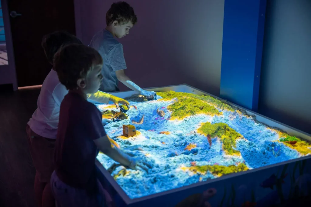
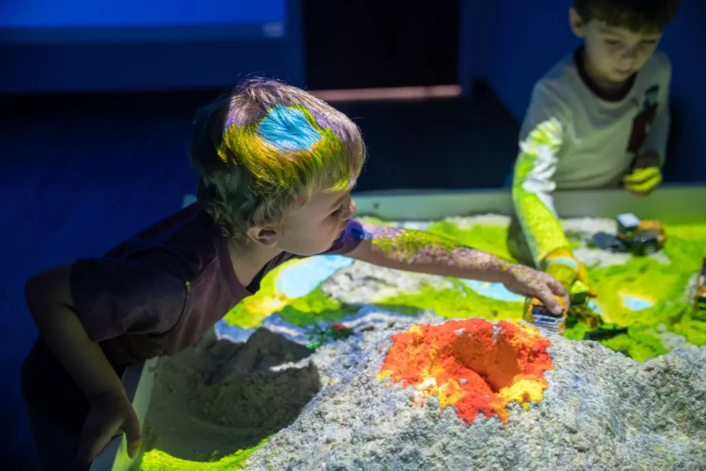
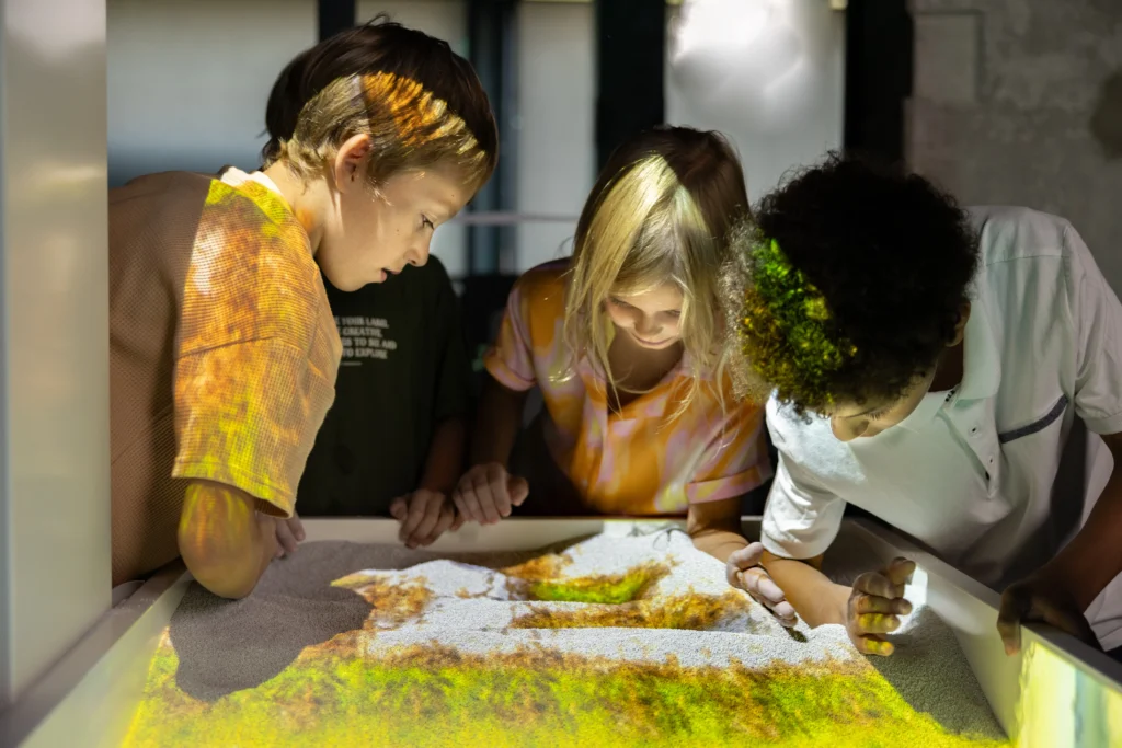
- Interactive Learning: Lessons become interactive and exciting as students physically shape landscapes and instantly see real-time topographic and water flow simulations.
- Data Simplification: Complex data is simplified into clear, visual models that anyone can understand, significantly improving communication for communities and stakeholders.
- Enhanced Planning: Planners and engineers can test "what-if" scenarios on the spot, directly enhancing project planning and outcomes.
- Immersive Exhibits: Museums and science centers gain immersive exhibits that effectively attract and educate visitors.
Fostering Creativity and Problem-Solving
In every setting, the use of IMSAND fosters deeper engagement, creativity, and better problem-solving.
Book a meeting with us to discuss your needs and how we can help.
We are happy to discuss specific concerns or questions, to go over our products and services in more detail, or to simply check in and see how we can assist you in achieving your goals.